Table of Contents
ToggleIntroduction
The controversy surrounding Google’s representation of Palestine on its maps has sparked widespread debate and concern. Understanding the nuances of this issue is crucial for forming an informed opinion. In this article, we will delve into the details of the controversy, Google’s response, and the broader implications for geopolitics and digital mapping.
Background on Google Maps
Google Maps is one of the most widely used digital mapping services globally. It offers detailed maps and satellite imagery of almost every corner of the world. The platform’s mapping policies are designed to provide accurate and up-to-date information, but the complexity of geopolitical issues can lead to controversies.
The Origin of the Controversy
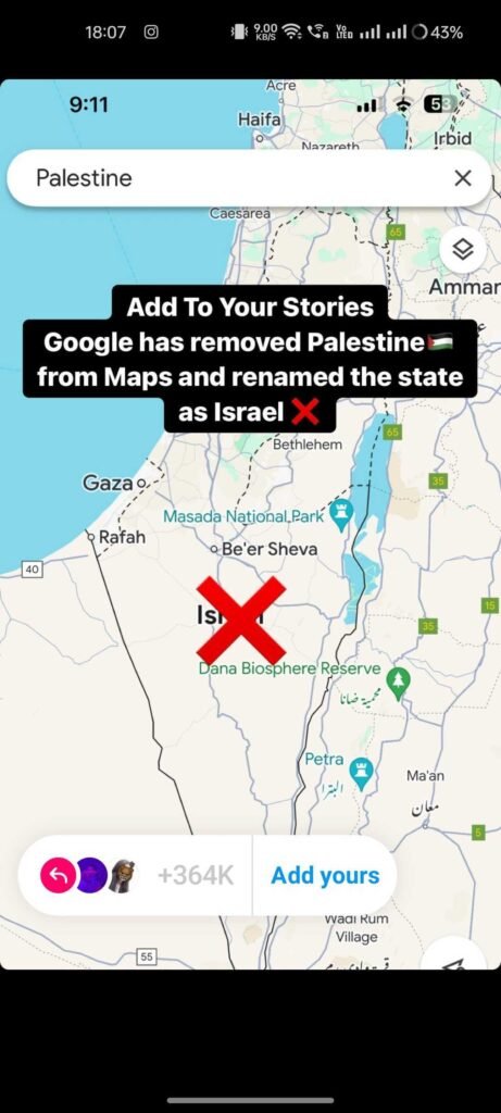
The controversy began with claims that Google had removed Palestine from its maps. These claims quickly spread across social media, leading to public outrage and confusion. Various sources contributed to the spread of this information, but the origins can be traced back to a misunderstanding of how Google represents disputed territories.
Google’s Official Response
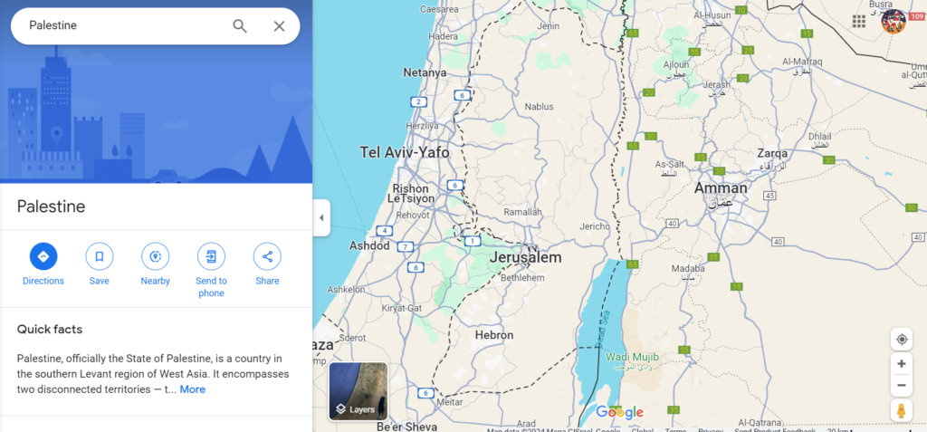
In response to the allegations, Google clarified that it had not removed Palestine from its maps. Google’s statements emphasized that the company does not label disputed territories as countries. Instead, they aim to provide a neutral representation based on data from international organizations and authoritative sources.
Current Story Template Spreading all over the Social Media

This is the template that is spreading around Instagram, as any Google Officials have not officially said it, but people keep sharing this template on Instagram; for now, we have to wait for the officials to come up and talk about this. This Template is showing the map of the Palestine.


